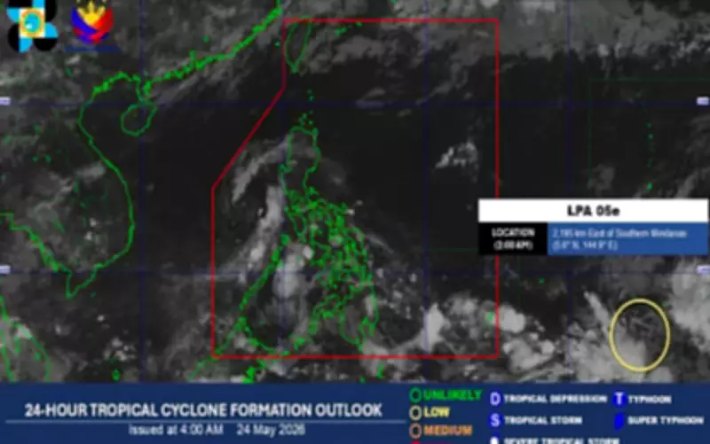
The Philippine Atmospheric, Geophysical and Astronomical Services Administration (PAGASA) announced that three weather systems, including a trough of low pressure area (LPA), will continue to bring isolated rains across the country on Sunday, May 24, 2026.
LPA Inside PAR
In its 4 a.m. advisory, the weather bureau said the LPA located 560 kilometers east of General Santos City within the Philippine Area of Responsibility (PAR) is not expected to develop into a tropical depression. However, it will bring scattered rains and thunderstorms in Mindanao, Palawan, Eastern Samar, and Southern Leyte.
LPA Outside PAR
PAGASA noted another LPA, spotted 2,195 kilometers east of Southern Mindanao, is being monitored outside the PAR. It has a low chance of developing into a tropical depression within the next 24 hours.

Easterlies and Localized Storms
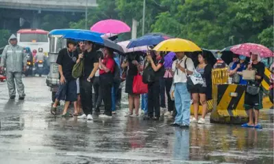
Easterlies will continue to affect Luzon and the Visayas, bringing isolated rain showers or thunderstorms, particularly in the Bicol Region and Quezon, and in parts of the Visayas. Metro Manila and the rest of the country will have partly cloudy to cloudy skies with isolated rain showers or thunderstorms due to localized thunderstorms.
Danger-Level Heat Indices
PAGASA warned that 39 areas are forecast to experience danger-level heat indices ranging from 42 to 51 degrees Celsius. These areas include Dagupan City in Pangasinan; San Ildefonso in Bulacan; San Jose Occidental in Mindoro; and Sangley Point in Cavite City, Cavite, where the highest heat index could reach 46 degrees Celsius.
Light to moderate winds and slight to moderate seas will prevail across the country.