The Ministry of Public Works in the Bangsamoro Autonomous Region in Muslim Mindanao (MPW-Barmm) has introduced an upgraded version of the Expanded Bangsamoro Advanced Road Mapping and Management (E-Barmm) system. This initiative aims to enhance the monitoring, planning, and transparency of infrastructure projects across the region.
Orientation and Planning Workshop
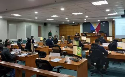
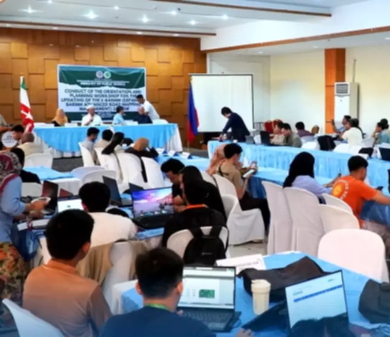
Last week, MPW-Barmm convened division chiefs and district engineering focal persons for an orientation and planning workshop. The gathering focused on finalizing the system upgrade and strengthening coordination among regional and district engineering offices.
Engineer Danilo Ong, MPW director-general, stated in a press release on Monday, May 18, 2026, that the upgraded digital platform would help eliminate overlapping projects and inconsistencies in regional infrastructure implementation. He emphasized that the system would establish a more accurate, reliable, and updated database of road networks and project locations to support sound planning and informed decision-making.

Key Features of the Upgraded System
The upgraded E-Barmm platform now integrates advanced security features, geographic information system (GIS) capabilities, and a dedicated mobile application. These enhancements were developed through a partnership with WoodFields Consultants, Incorporated.
Engineer Tarhata Kalim, MPW construction division chief, noted that the system is designed to increase public participation by making project information accessible in real time.
Demonstration and Data Validation
WoodFields Project Manager Dave Umali demonstrated the updated platform during the workshop. Participants conducted data validation and correction activities, reviewed migrated records, and filtered uploaded geo-tagged photos to ensure the accuracy and quality of the database prior to the system's rollout.
This upgrade represents a significant step forward in the region's infrastructure management, promising greater efficiency and transparency in public works projects.