The Philippine Atmospheric, Geophysical and Astronomical Services Administration (PAGASA) reported on Sunday that a low pressure area (LPA) located east of Northeastern Mindanao has a low probability of intensifying into a tropical cyclone. Nevertheless, the weather disturbance will continue to bring rainfall across parts of the Visayas and Mindanao.
LPA Location and Affected Areas
According to PAGASA's weather bulletin, the LPA was estimated at 890 kilometers east of Northeastern Mindanao. It carries sufficient moisture to produce cloudy skies with scattered rains and thunderstorms over Eastern Visayas, Caraga Region, and the Davao Region.
The state weather bureau cautioned that moderate to at times heavy rains associated with the LPA could trigger flash floods and landslides, especially in vulnerable communities.

Southwest Monsoon Impact on Luzon
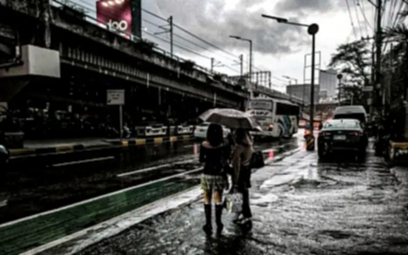
Meanwhile, the southwest monsoon, locally known as "habagat," continues to affect the western portion of Luzon. This weather system brings cloudy skies with scattered rains and thunderstorms over the Ilocos Region, Zambales, Bataan, Occidental Mindoro, and Palawan.
PAGASA advised residents in these areas to stay alert for possible flooding and landslides due to periods of moderate to heavy rainfall.
Weather Conditions in Metro Manila and Rest of the Country
Metro Manila and the rest of the country will experience partly cloudy to cloudy skies with isolated rain showers or thunderstorms caused by localized weather systems. Severe thunderstorms may also trigger flash floods or landslides in some localities.
Across the country, winds will remain light to moderate, while coastal waters are expected to range from slight to moderate.