The low pressure area (LPA) currently being monitored by the state weather bureau may enter the Philippine Area of Responsibility (PAR) on Thursday or Friday, according to weather specialist Aldczar Aurelio. In the coming days, the LPA is expected to be located west of extreme Northern Luzon.
Current Location and Development
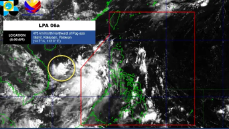
As of 8:00 a.m. today, the weather disturbance was spotted 475 kilometers northwest of Pag-asa Island, Kalayaan, Palawan. For now, the chances of it developing into a tropical depression within the next 24 hours remain low, Aurelio said.
If the LPA enters PAR and intensifies into a tropical cyclone, it will be named Ester. This would be the fifth tropical cyclone to enter the country this year.

Southwest Monsoon Effects
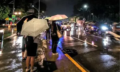
Meanwhile, the weather specialist noted that the southwest monsoon, or habagat, will continue to affect many parts of Luzon over the next four days. The weather bureau has officially declared the start of the rainy season following the onset of the habagat season.
Residents in affected areas are advised to remain vigilant and monitor updates from the state weather bureau as the situation develops.