Former Cebu City planning chief Joseph Michael Espina is championing a comprehensive watershed-focused development approach for Metro Cebu, arguing that the region's recurring floods demand more than temporary fixes.
Espina emphasized that the Japanese International Cooperation Agency's 2015 Metro Cebu Roadmap provides the necessary framework, built around three core strategies: dispersal of growth centers, establishing a green belt, and creating a green loop.
Dispersing Growth to Protect Watersheds
Espina proposed developing new coastal growth hubs stretching from Danao to Carcar to relieve congestion in Cebu City and redirect development away from environmentally sensitive watershed areas.

This multinodal development approach would distribute population and investment more evenly across the metro. It would also enable cities to acquire more affordable relocation land outside crowded urban centers.
The former planning official stressed that clearing three-meter easements along riverbanks is essential for addressing drainage issues and reducing flood risks.
Transportation as Development Backbone
Espina highlighted that this development model requires a modern mass transit system as its foundation. The proposed MRT from Consolacion to Talisay would serve as the initial backbone, with future extensions planned to reach Danao and Carcar.
While long-term transit projects are being developed, he recommended implementing point-to-point electric bus routes along the coastal corridor. This interim measure would help reduce dependence on private vehicles and demonstrate the benefits of public transportation.
Green Infrastructure for Flood Prevention
The green belt strategy focuses on expanding floodplains and restoring forest cover across critical watersheds, including Mananga, Butuanon, and Cotcot.
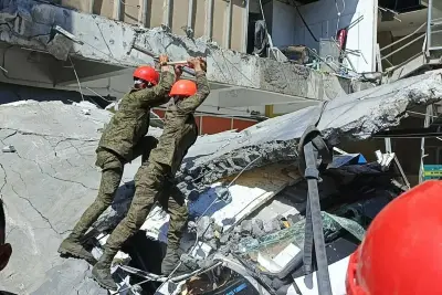
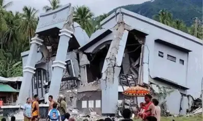
Widening the Cansaga River and enforcing upland conservation measures would transform these areas into what Espina described as an "absorptive sponge" capable of preventing catastrophic flooding like that experienced during Typhoon Tino.
He acknowledged that implementing this strategy might require reverting some occupied or titled floodplain areas to government control to ensure proper water management.
The green loop concept proposes a transit-oriented ring connecting Cebu, Mandaue, Lapu-Lapu, and Cordova, with the Cebu-Cordova Link Expressway serving as the closing link.
By concentrating development along this corridor, the approach would protect upland areas while improving urban connectivity. Espina noted that additional crossroad links, such as from Pit-os to Consolacion or Mandaue, remain feasible with right-of-way costs still at manageable levels.
Espina concluded that successful implementation requires coordinated planning among local government units, national agencies, and private sector stakeholders, all supported by strong political commitment to transformative change.