The low pressure area (LPA) outside the Philippine Area of Responsibility (PAR) has developed into a tropical depression, the weather bureau said Friday.
Tropical Depression Francisco Expected to Enter PAR
The Philippine Atmospheric, Geophysical and Astronomical Services Administration (PAGASA) said the cyclone is forecast to enter PAR on Saturday. Once inside the PAR, it will be named Francisco.
PAGASA said the cyclone packs maximum sustained winds of 55 km per hour near the center and gusts of up to 70 kph. It was located 2,085 km east of Eastern Visayas as of 4 a.m., moving west at 15 kph.

Possible Intensification and Impact
PAGASA said the cyclone could intensify into a tropical storm within Friday and may reach the typhoon category by Sunday. While it is less likely to make landfall, PAGASA said the hoisting of wind signal no. 1 over the eastern portions of northern Luzon is not ruled out.
PAGASA also said the cyclone is less likely to directly affect the country's weather and sea conditions in the next three days. However, it could trigger the resurgence of the southwest monsoon or habagat by Sunday.
Current Weather Conditions
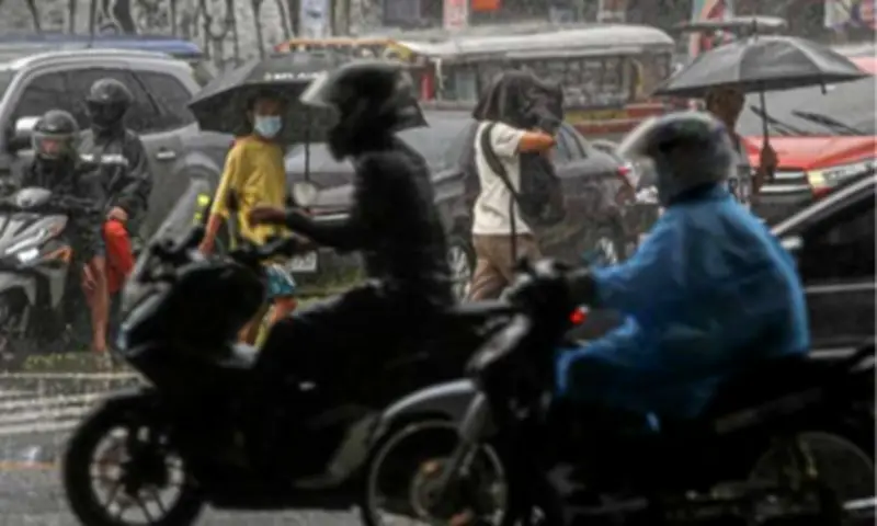
Meanwhile, the country is forecast to continue experiencing isolated rain showers due to the easterlies and localized thunderstorms on Friday. Light to moderate winds and slight to moderate seas will prevail throughout the archipelago, PAGASA said.