The Philippine Atmospheric, Geophysical and Astronomical Services Administration (PAGASA) has issued a forecast indicating that a tropical cyclone is expected to form and enter the Philippine Area of Responsibility (PAR) during the month of April. This development marks a significant weather event as the country braces for potential impacts from the impending storm.
Potential Landfall Scenarios and Historical Patterns
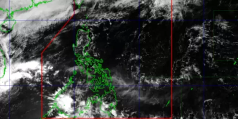
According to weather specialist Benison Estareja, based on the latest climatological track for April, the tropical cyclone may make landfall in the Philippines. If the storm's entry point is in the lower part of the country, such as eastern Mindanao, it could potentially strike regions like Caraga, Visayas, or MIMAROPA. Estareja elaborated that historically, some April cyclones have been observed east of Visayas or in the Bicol Region, then remained over Luzon without making direct landfall. Instead, these storms often veer outside the PAR until they weaken into a low-pressure area (LPA).
Naming and Frequency of Cyclones
Should this tropical cyclone materialize as predicted, it will be the third to enter the country this year and will be named Caloy. This naming follows the standard protocol for tropical cyclones in the region, which helps in tracking and communication during weather events. The anticipation of Caloy's formation underscores the ongoing monitoring efforts by meteorological agencies to provide timely updates and warnings to the public.

The forecast highlights the importance of preparedness as the storm could bring heavy rains, strong winds, and potential flooding to affected areas. Residents in vulnerable regions are advised to stay informed through official channels and take necessary precautions to ensure safety. The state weather bureau continues to monitor the situation closely, with updates expected as the storm develops and moves closer to the PAR.