

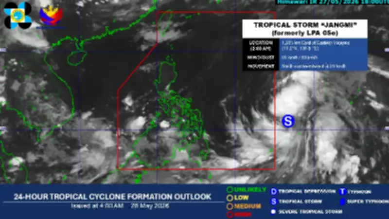
Tropical Storm Jangmi remains strong despite a slight slowdown in its movement while still outside the Philippine Area of Responsibility (PAR), according to the state weather bureau.
Current Status of Tropical Storm Jangmi
Based on the weather bureau's bulletin, the storm was last spotted approximately 1,195 kilometers east of Eastern Visayas around 3:00 AM on May 28. It carries maximum sustained winds of 65 km/h near the center, gusts reaching up to 80 km/h, and a central pressure of 1000 hPa.
The storm is moving north-northwest at 20 km/h and is expected to continue in this direction until it enters PAR on Thursday evening or Friday morning, May 29. Once it enters the country, it will be named "Domeng."

Forecast Intensity and Track
According to PAGASA, the storm may continue to intensify and could reach typhoon category by Saturday, May 30. Its peak intensity is expected between Saturday and Sunday, May 31, while over the Philippine Sea, before gradually weakening.
However, the weather bureau stated that it is "less likely" for the storm to make landfall in the country due to changes in the forecast track.
Potential Hazards
Although the possibility of Tropical Cyclone Wind Signal over Extreme Northern Luzon has decreased, PAGASA warned of moderate to rough seas along the coasts of northern Luzon this weekend, with possible gale warnings.