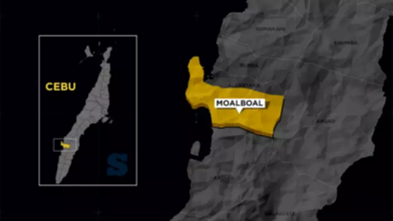
Moalboal Finalizes Unified Coastal Zoning System to Boost Marine Protection and Regulatory Enforcement
In a significant move for environmental governance, the Municipality of Moalboal has announced the adoption of a unified coastal boundary system designed to tighten law enforcement, minimize jurisdictional disputes, and enhance the protection of its marine resources. This initiative follows the successful conclusion of the Final Presentation on Coastal Management Zoning, which took place on February 12, 2026, at the Mayor's Office, as detailed in a Facebook statement released by the Municipal Public Information Office (PIO) on Friday, February 13, 2026.
Collaborative Efforts with DENR-TSPS Drive Zoning Framework
The presentation was conducted in close coordination with the Department of Environment and Natural Resources – Tañon Strait Protected Seascape (TSPS) Badian Station, marking a collaborative effort to establish a clear and integrated maritime boundary for each barangay. According to the Moalboal PIO, this step is aligned with the town's Coastal Management Zoning plan, which aims to ensure more effective management and consistent enforcement of environmental regulations.
Mayor Inocentes Cabaron emphasized that the establishment of well-defined and unified maritime boundaries is crucial for securing efficient governance and sustainable regulatory practices. He further highlighted that this measure is vital for regulating resource use, strengthening the protection of marine habitats, and sustaining Moalboal's economy, which heavily relies on tourism.

Technical Presentations and Policy Recommendations Based on National Laws
During the meeting, technical officers from DENR presented the final zoning map and policy recommendations, which are grounded in the National Integrated Protected Areas System (NIPAS) Act and its expanded version, the Enhanced National Integrated Protected Areas System (ENIPAS). The discussions also focused on aligning local ordinances with guidelines approved by the Protected Area Management Board (PAMB), ensuring that municipal regulations are in harmony with national standards.
The Sangguniang Bayan is now scheduled to review and formally adopt this framework. Once approved, officials state that the zoning plan will serve as the foundation for a more organized and science-based marine management system across the entire municipality, paving the way for enhanced environmental stewardship and economic resilience.