The low pressure area (LPA) outside the Philippine Area of Responsibility (PAR) has intensified into a tropical depression, according to the weather bureau on Friday, June 19, 2026.
The Philippine Atmospheric, Geophysical and Astronomical Services Administration (Pagasa) stated that the cyclone is expected to enter PAR on Saturday, June 20. Once inside PAR, it will be named “Francisco.”
Pagasa reported that the tropical depression carries maximum sustained winds of 55 kilometers per hour (kph) near the center, with gusts reaching up to 70 kph.

As of 4:00 a.m., the weather disturbance was located 2,085 kilometers east of Eastern Visayas, moving westward at 15 kph.
Pagasa noted the possibility that the cyclone may strengthen into a tropical storm by Friday and continue intensifying into a typhoon category by Sunday. Although the chance of landfall is low, Pagasa said that hoisting Wind Signal No. 1 over the eastern sections of Northern Luzon cannot be ruled out.
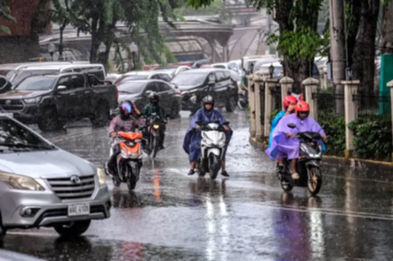
The weather bureau added that the cyclone will not directly affect the country’s weather and sea conditions over the next three days.
However, it may trigger the return of the southwest monsoon (habagat) on Sunday.