
The state weather bureau reported that Tropical Depression Wilma held its strength while remaining nearly stationary off the coast of Eastern Samar on Saturday afternoon, December 6, 2025.
Current Location and Forecast Track
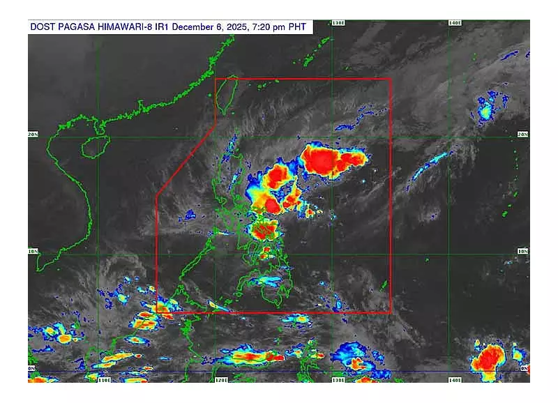
In its 5 p.m. advisory, the Philippine Atmospheric, Geophysical and Astronomical Services Administration (Pagasa) located the storm's center over the coastal waters of Can-avid, Eastern Samar. Wilma packed maximum sustained winds of 45 kilometers per hour near its center and gusts reaching up to 55 kph. Having shown little movement since midday, the cyclone was projected to make landfall over Eastern Samar or Northern Samar between late afternoon and evening that same day.
The weather system is forecast to cross the Visayas region throughout Sunday before emerging over the Sulu Sea. It is then expected to move toward northern Palawan by Monday, December 8. Pagasa stated that Wilma will likely stay as a tropical depression during its passage. However, the intrusion of dry air from the northeast monsoon could weaken it into a remnant low while it is over the Visayas.

Weather Impacts and Public Warnings
Pagasa weather specialist Janina Marte advised that while only light rains, drizzles, and isolated thunderstorms are anticipated for Central Visayas—with strong rains no longer expected over Cebu—hazards remain. She cautioned that landslides are still possible in mountain barangays due to soil saturation from previous rains. Isolated flooding in low-lying areas is also a concern.
Residents can expect clearer skies by Sunday, December 7, with warmer and more stable weather conditions returning by Monday.
Wind Signals and Marine Hazards
Tropical Cyclone Wind Signal (TCWS) No. 1 remains hoisted over extensive areas of Luzon and the Visayas. The affected provinces include:
- Sorsogon, Masbate, Romblon, parts of Mindoro, and northern Palawan in Luzon.
- Northern Samar, Eastern Samar, Samar, Biliran, Leyte, Cebu, Negros Island, Guimaras, Iloilo, Capiz, Aklan, and Antique in the Visayas.
Pagasa indicated that these areas could experience minimal to minor wind impacts. Additionally, even locations not under any wind signal may encounter strong to gale-force gusts due to the enhanced northeast monsoon, particularly over most of Luzon, the Visayas, and the Zamboanga Peninsula through Monday.
A gale warning is in effect for the northern and eastern seaboards of Luzon, where sea conditions could become very rough with waves up to five meters. This poses risks to all types of vessels. Rough seas are also forecast to persist along the seaboards of Eastern Samar, Northern Samar, and several other provinces in Luzon and Mindanao. Mariners are strongly advised to remain in port or seek safe harbor immediately.
Projected Movement and Next Positions
Wilma is forecast to be over Samar early Sunday. By Sunday afternoon, it is expected to be over the coastal waters of Aklan. The storm's projected positions include Linapacan in northern Palawan by early Monday, and areas near Pag-asa Island in the West Philippine Sea by Tuesday as it moves out of the Philippine Area of Responsibility.


