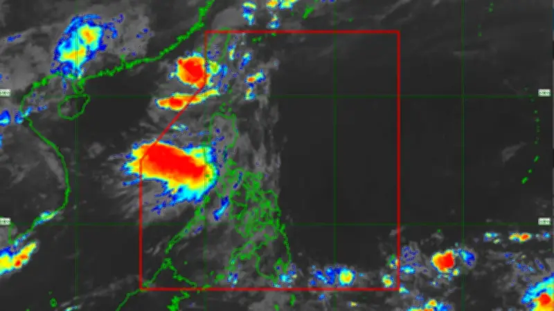
Tropical Depression "Ester" continues to maintain its strength as it traverses Southern Taiwan, according to the state weather bureau. The center of the depression was located 230 kilometers northwest of Itbayat, Batanes, packing maximum sustained winds of 45 km/h near the center and gusts of up to 55 km/h, while moving northeast at 15 km/h.
Current Warnings and Affected Areas
Tropical Cyclone Wind Signal (TCWS) No. 1 remains hoisted over Batanes. The state weather bureau reported that strong winds from the depression extend up to 280 kilometers from the center. Minimal to minor impacts from strong winds are expected in areas under Signal No. 1.
Aside from the depression, the Southwest Monsoon is enhancing rainfall and gusty winds across various parts of Luzon.

Forecast for June 5 to 7
On June 5, strong winds are expected in the Ilocos Region, Cordillera Administrative Region, Cagayan Valley, Aurora, Zambales, Tarlac, Bataan, Pampanga, Metro Manila, CALABARZON, Occidental Mindoro, and Oriental Mindoro.
On June 6, affected areas include Batanes, Babuyan Islands, Ilocos Region, Cordillera Administrative Region, Quirino, Nueva Vizcaya, Aurora, Isabela, Zambales, Bataan, Metro Manila, CALABARZON, and Occidental Mindoro.
On June 7, strong winds are expected in Batanes, Babuyan Islands, Ilocos Region, Abra, Apayao, and Zambales.
Advisory for Fishermen and Seafarers
The state weather bureau also warned fishermen and small sea vessels to avoid venturing out due to expected rough seas. Wave heights may reach up to 4.0 meters in the western part of Batanes, 3.5 meters in the western part of Babuyan Islands and northern part of Ilocos Norte, and 3.0 meters in other parts of Batanes, Ilocos Norte, and Ilocos Sur.